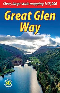
Reseña del libro "Great Glen Way: Walk or Cycle the Great Glen way (en Inglés)"
This guidebook (fully updated in 2020) contains all you need to plan and enjoy a holiday walking or cycling along Scotland's historic Great Glen (77 miles/124 km). The Way runs between Fort William and Inverness, passing beside Scotland's highest mountain, along its historic Caledonian Canal and alongside beautiful lochs, including Loch Ness with its famous monster legend and Urquhart Castle. This sixth edition has fresh mapping at 1:38,000 on 13 pages, with detailed relief contours and colouring; on rainproof paper throughout; in full colour, with 100+ photos; visitor attractions and hills to climb including Ben Nevis; town plans of Fort William and Inverness; background on local geology, history and wildlife; summary of each section showing distance, terrain, altitude profile and food/drink stops; planning information for travel by car, train, bus or plane.This guidebook contains all you need to plan and enjoy the Great Glen Way - on foot or on a bike: detailed mapping on 13 pages at 1:38,000 hill and mountain side-trips including Ben Nevis background on canal heritage, clan history and wildlife detailed description for each section walked from Fort William to Inverness summaries showing distance, terrain, food/drink stops and altitude profile planning information for walkers and cyclists town plans of Fort William and Inverness in full colour, with 100+ photos, many of them new rucksack-friendly and on rainproof paper.

