Compartir
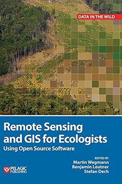
Remote Sensing and gis for Ecologists: Using Open Source Software (Data in the Wild) (en Inglés)
Martin Wegmann; Benjamin Leutner; Stefan Dech (Autor)
·
Pelagic Publishing
· Tapa Dura
Remote Sensing and gis for Ecologists: Using Open Source Software (Data in the Wild) (en Inglés) - Martin Wegmann; Benjamin Leutner; Stefan Dech
$ 472.121
$ 749.398
Ahorras: $ 277.277
Elige la lista en la que quieres agregar tu producto o crea una nueva lista
✓ Producto agregado correctamente a la lista de deseos.
Ir a Mis Listas
Origen: Estados Unidos
(Costos de importación incluídos en el precio)
Se enviará desde nuestra bodega entre el
Martes 04 de Junio y el
Martes 18 de Junio.
Lo recibirás en cualquier lugar de Colombia entre 1 y 5 días hábiles luego del envío.
Reseña del libro "Remote Sensing and gis for Ecologists: Using Open Source Software (Data in the Wild) (en Inglés)"
This is a book about how ecologists can integrate remote sensing and GIS in their daily work. It will allow ecologists to get started with the application of remote sensing and to understand its potential and limitations. Using practical examples, the book covers all necessary steps from planning field campaigns to deriving ecologically relevant information through remote sensing and modelling of species distributions.All practical examples in this book rely on OpenSource software and freely available data sets. Quantum GIS (QGIS) is introduced for basic GIS data handling, and in-depth spatial analytics and statistics are conducted with the software packages R and GRASS.Readers will learn how to apply remote sensing within ecological research projects, how to approach spatial data sampling and how to interpret remote sensing derived products. The authors discuss a wide range of statistical analyses with regard to satellite data as well as specialised topics such as time-series analysis. Extended scripts on how to create professional looking maps and graphics are also provided.This book is a valuable resource for students and scientists in the fields of conservation and ecology interested in learning how to get started in applying remote sensing in ecological research and conservation planning.
- 0% (0)
- 0% (0)
- 0% (0)
- 0% (0)
- 0% (0)
Todos los libros de nuestro catálogo son Originales.
El libro está escrito en Inglés.
La encuadernación de esta edición es Tapa Dura.
✓ Producto agregado correctamente al carro, Ir a Pagar.

